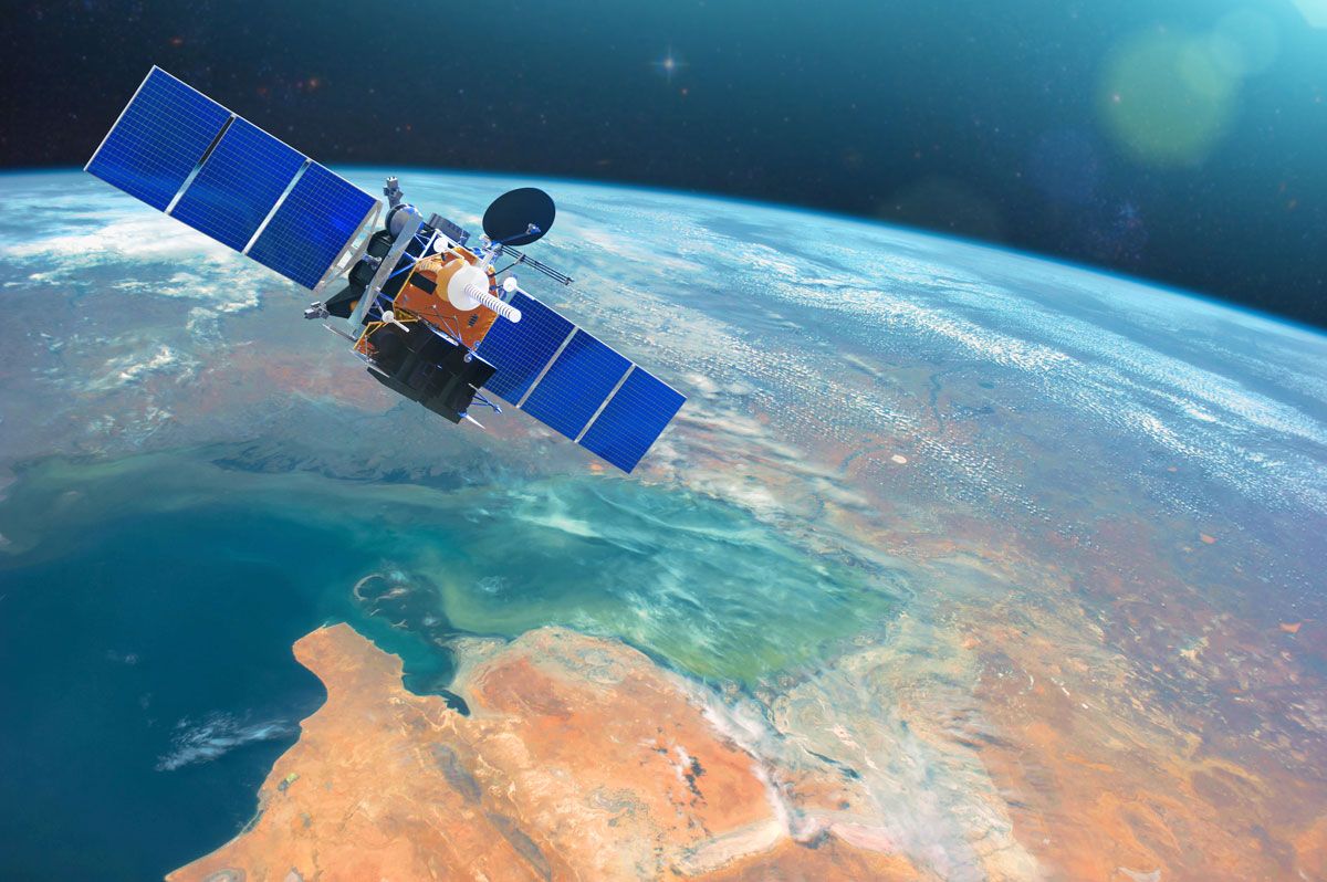
Safeguarding radio spectrum for Earth observation
By Mario Maniewicz, Director, ITU Radiocommunication Bureau
The demand for weather and climate information is rapidly increasing.
Radiocommunication systems are fundamental to monitoring both weather and the climate, and to helping countries mitigate and adapt to address their growing challenges.
Data from Earth-observation and meteorological satellites have become vital for weather forecasting at all ranges, as well as monitoring the climate and producing timely warnings. Beyond those uses, satellites provide a wealth of information that supports informed decision-making in pursuit of sustainable development.
Around the world, meteorologists and climate scientists can now make seasonal and longer-term forecasts for key sectors such as agriculture, health, water, transport, and energy.
The International Telecommunication Union (ITU), as the United Nations specialized agency for information and communication technologies, serves as the custodian of the Radio Regulations – the regularly updated international treaty governing radio-frequency spectrum and satellite orbits.
Through ITU’s efforts and global collaboration in climate and space science, we have seen ground-breaking advances in communication technology and satellite observation. These have helped advance our understanding of complex global weather and climate systems.
ITU and its diverse global membership have encouraged greater coordination between national meteorological and hydrological services, disaster management authorities, and development agencies, particularly to promote and enhance the use of radiocommunication services to reduce disaster risks and support climate adaptation. The availability of radio frequency bands that are free from harmful interference is crucial for the effective operation of all Earth-observation systems.
Celebrating future meteorology
World Meteorological Day this year focuses on the future of weather, climate, and water across generations. Underpinning this timely theme is the importance of real-time, accurate global observations about events on our planet – in the atmosphere, on land, and in the oceans.
This year’s celebration also marks the 150th anniversary of the World Meteorological Organization (WMO). Over the years, ITU and WMO have enjoyed fruitful collaboration through a long-standing partnership aimed at improving the accuracy of weather and climate prediction.
Effective and prudent management of allocated frequency bands is paramount to maintaining and enhancing the quality and accuracy of weather and weather-related predictions.
Investing in resilience
The growing threat of climate change is all around us. Weather-related disasters – hurricanes, storms, floods, and fires – have increased considerably in number and intensity in recent decades.
Space-enabled technology applications have become crucial to local, regional, and national disaster risk-reduction strategies, including the provision of emergency communications and tracking and tracing, both during and after disasters and in complex humanitarian emergencies. The unique capabilities of satellites to observe the Earth non-intrusively over wide areas is key to protecting life and preventing economic loss from disasters.
To build resilience that dampens the devastating impact of extreme weather events, all countries must invest in effective early warning systems and services incorporating satellite radiocommunication services.
Key climate indicators
Sea-level rise is a sensitive indicator of climate change and has major repercussions for coastal areas and small island states. Today, Earth-observation satellites provide reliable and accurate sea-level measurements that strengthen the global climate response and help countries prepare.
Space assets are similarly vital for monitoring ocean currents, ocean surface winds, sea conditions, sea ice, and sea surface temperatures.
The resulting data improves safety at sea. It can also support the sustainable use of marine resources and the protection of vital marine and coastal ecosystems.
Space-based groundwater monitoring is helping find and secure water resources for sustainable development. Data collected by a combination of methods, from ground-based geophysics and borehole readings to remote sensing, now provides a clearer picture of global groundwater reserves.
Geographic Information System (GIS) and Global Positioning System (GPS) mapping, for example, allow rapid, cost-effective groundwater detection, extraction, conservation, and testing. In addition, these tools enable scientists to map aquifer volume changes, helping decision-makers better manage water resources.
Safeguarding spectrum for Earth observation
In November, ITU Member States will convene in Dubai, in the United Arab Emirates, for the next World Radiocommunication Conference (WRC-23), the quadrennial opportunity to update the Radio Regulations.
Successive conference cycles ensure the availability and protection of radio-frequency bands for atmospheric observation systems, such as radiosondes, weather and wind profile radar, and space-borne infrared and microwave sounders.
Header image credit: Adobe Stock (Elements of this image furnished by NASA)
